The Centre for Geographic Information Systems (CGIS) at the Ministry of Municipality, in partnership with Esri Inc. and Mannai InfoTech, successfully celebrated GIS Day 2025 with a flagship event held on November 24, 2025, at the Marsa Malaz Kempinski, The Pearl – Doha.
Held under the theme “Connected Worlds | Where Geospatial Meets AI and Digital Twin,” the event highlighted how the fusion of geospatial systems with emerging technologies is reshaping national planning, infrastructure development, sustainability initiatives, and the future of smart cities in Qatar.
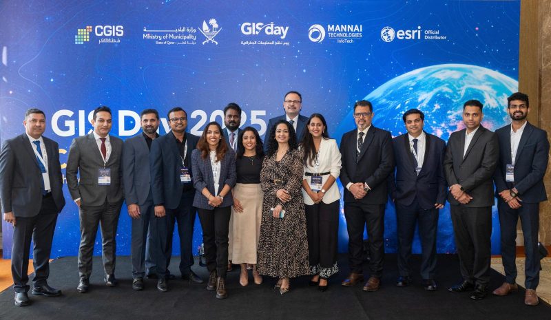
The gathering brought together 200+ attendees and experts from government organizations, academia, and the wider geospatial community for an immersive day focused on the evolving impact of GIS and spatial intelligence. Opening remarks were delivered by Amer Mohamed Al-Humaidi, Assistant Director at CGIS – Ministry of Municipality and Ms. Valine Fernandes, Marketing Director at Mannai InfoTech, setting the stage for the program.
Dr. Nadine Alameh, Founder and CEO of LunateAI, delivered a forward-looking keynote on the evolving geospatial landscape, highlighting the impact of AI, cloud, and digital twins on smarter decision-making.
This was followed by Dr. Adel Fernández, Regional Public Sector & AEC Lead at Esri, who showcased how geo-enabled digital twins are enabling cities to plan and operate more intelligently using real-world data and 3D environments.
The event featured expert-led sessions and panel discussions with specialists from the Ministry of Municipality, CGIS and Ashghal, showcasing advancements in GeoAI, digital twins, infrastructure mapping, and urban resilience. A Women in GIS fireside chat celebrated female leadership in the geospatial field, offering insights on research, innovation, and the evolving role of women in shaping the industry.
Contributions from young researchers from Qatar University highlighted urban heat islands, flooding patterns, and green space distribution in Doha, reflecting the growing role of youth-led geospatial innovation. The day concluded with an interactive GIS-themed quiz, encouraging engagement, knowledge sharing, and community participation.
Through discussions, demonstrations, and collaborative exchanges, GIS Day 2025 reinforced Qatar’s position as a regional leader in geospatial excellence. The event also underscored the role of GIS in supporting Qatar’s digital transformation and National Vision 2030, enabling smarter governance, sustainable urban development, and a truly connected future.
The Centre for GIS (CGIS) under the Ministry of Municipality stands among the world’s most advanced national geospatial centers. It is responsible for producing Qatar’s official digital and paper maps, developing topographic databases, and enabling government entities to build and enhance their institutional datasets. Mannai InfoTech is the official distributor for Esri in Qatar, offering robust geospatial solutions tailored to the nation’s evolving demands. Through its longstanding collaboration with CGIS, Mannai delivers innovative GIS services that empower industries, enable smarter decision-making, and contribute to the continued advancement of Qatar’s geospatial capabilities.